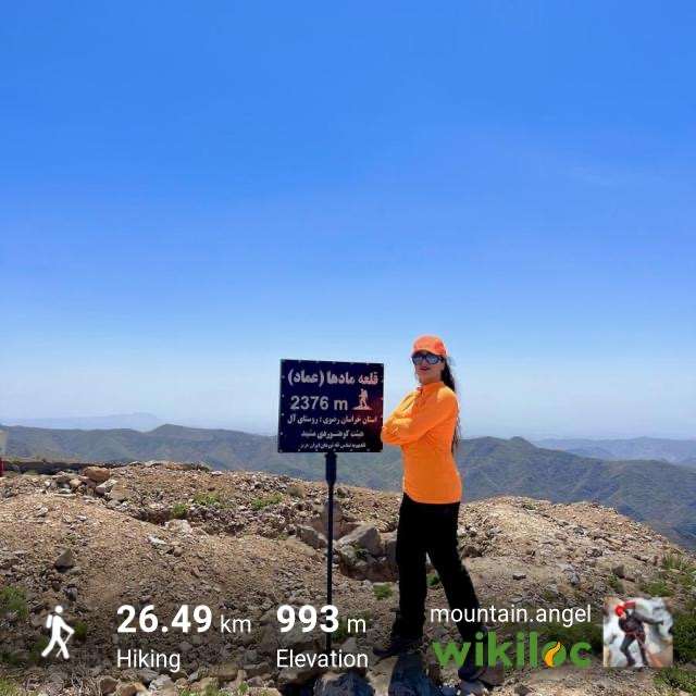
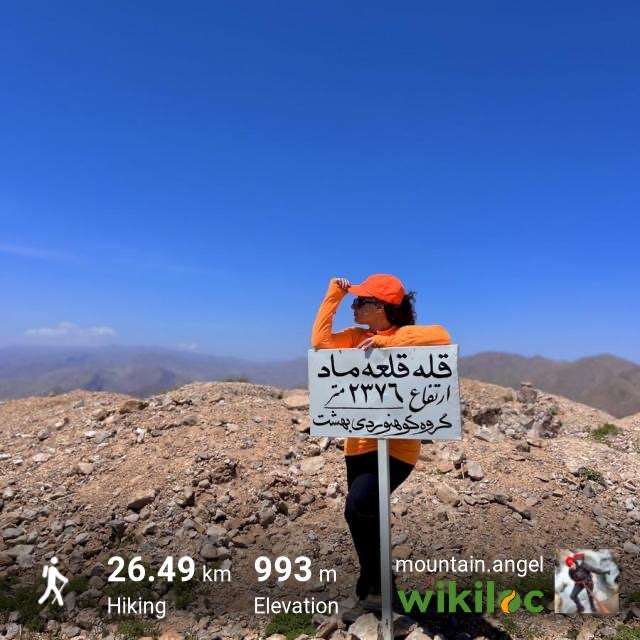
قله قلعه ماد (کلات نادری)
مشهد، کلات، بعد از سدکارده و اندرخ ، خراسان رضوی
نیمرخ ارتفاع
کمترین ۱٬۴۲۲ متر بیشترین ۲٬۳۸۲ متر مجموع فرود ۱٬۱۴۰ متر
گزارش برنامه
تاریخ اجرای برنامه 1404.02.12
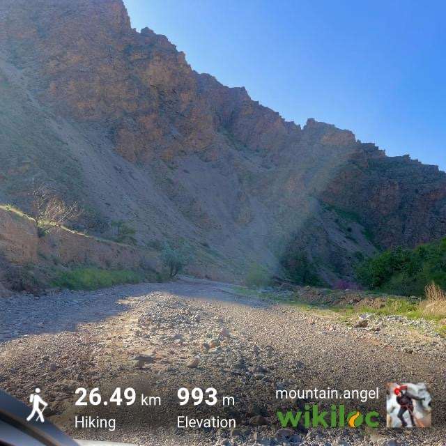
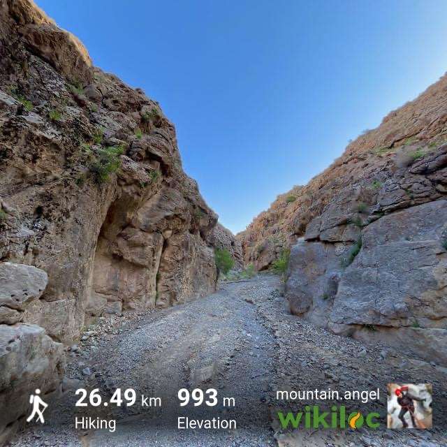
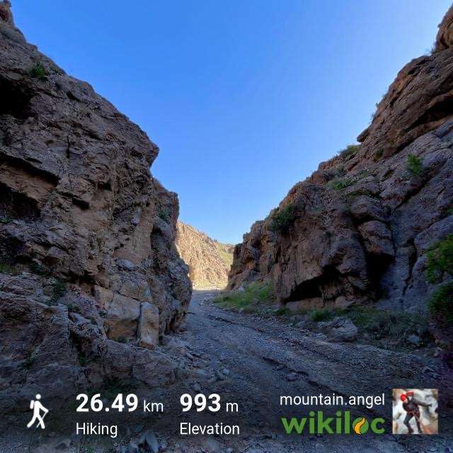
با اینکه مسیر رودخانه بود ولی کاملا خشک و فاقد چشمه بود
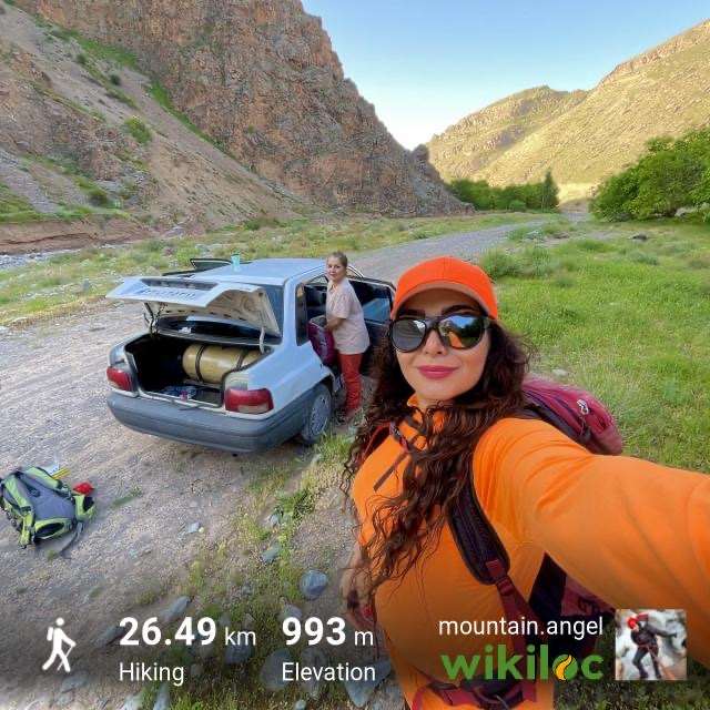
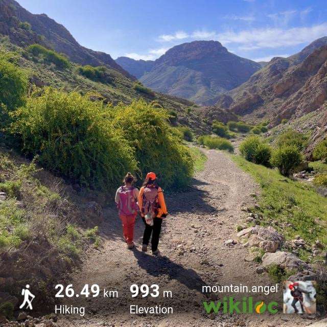
مسیر پیمایش بعد پارک خودرو چون مناسب فقط آفرود هست و سواری نمی تواند برود ما کنار باغات پارک کردیم و پیمایش کفی جاده رو استارت زدیم
آنتن دهی موبایل : هر دو اپراتور Noservice بود
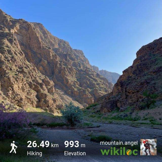
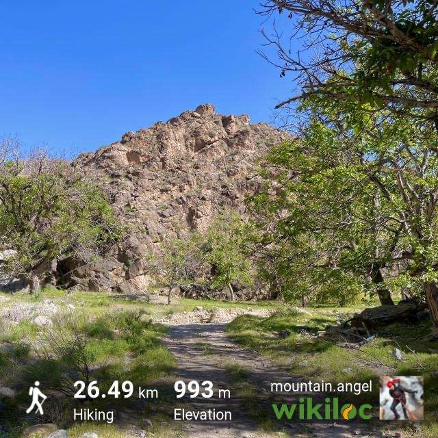
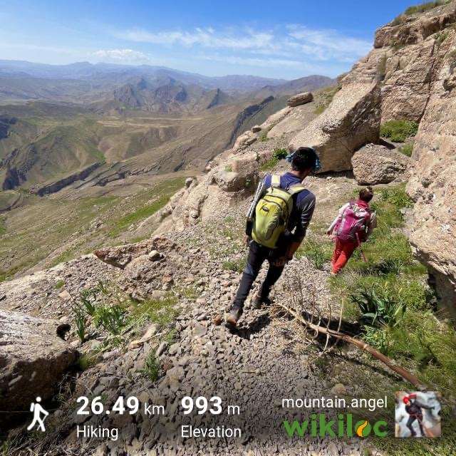
مسیر بسیار سرسبز و زیبا بود. ین قلعه از نیمه سده نهم هجری قمری مورد استفاده امرای تیموری خصوصا علاالدوله فرزند بایسنقر قرار گرفته و تا زمان شاه عباس اول صفوی مورد استفاده و توجه بوده است .
چندین گله عشایر در مسیر دیدیم که بایستی با احتیاط عبور کنید، به چند دلیل:
۱. کل مسیر پر از کَنه بود تا خود قله
۲. تعداد زیادی سگهای گله بود و با توجه به بزرگی هر گله در مسیر ، تا چوپان به جلوی گله برای اخطار میومد احتمال خطر حمله سگ ها را داشتیم
۳.در مسیر صعود و حتی زیر دیواره قلعه تعدد زیادی عشایر و بومی منطقه بود
در خصوص «کَنه » جدی بگیرید چون بینهایت زیاد بود و از کنار گله و یا هرگیاه رد میشدیم و به لباس هامون کشیده میشد تعداد زیادی کنه سریع میچسبیدند و میپریدند
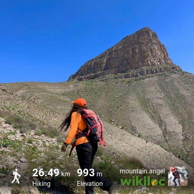
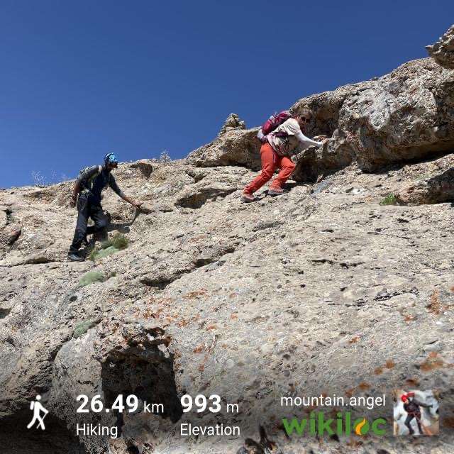
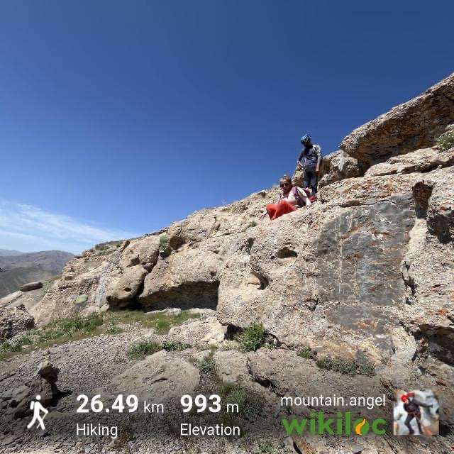
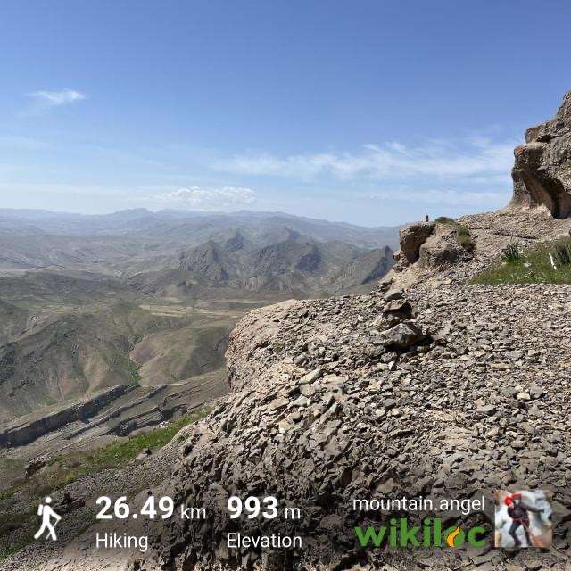
مسیر صعود زیر قله کاملا پاکوب و سنگ چین دارد ولی قبل آن پاکوب مشخصی نداشت
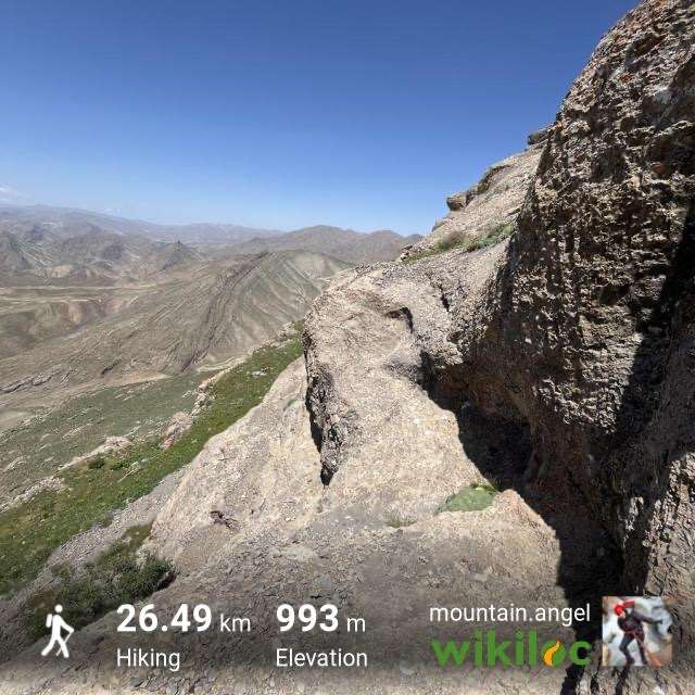
زیر قله خیلی کوتاه دست به سنگ بود و تکرار میکنم سنگ چین داشت که مسیر رو مشخص کند
مسیر دسترسی: مشهد، کلات، بعد از اندرخ و سد کارده ، دره آل، مسیر رودخانه سمت چپ (طبق ترک)، جاده خاکی رودخانه تا پارکینگ
تایم صعود : حدودا ۶ ساعت
تایم از مشهد تا پای کار: حدودا ۲ ساعت
مسافت صعود: ۲۰ کیلومتر (چون مسیر جاده ماشینرو را باید پیمایش کنیم مگر اینکه ماشین آفرود داشته باید که تا پای کار قلعه جاده دارد)
میزان ارتفاع گیری: 993 m
علت نام گذاری دره آل باورهای مختلفی هست که روایت میشود. برخی از مردم بر این باورند که در گذشته موجوداتی ترسناک و نامرئی به نام آل در این روستا زندگی میکردند.
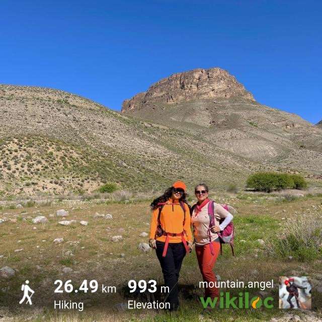
کوهای شاخص اطراف این قلعه شامل : قله دولولی ، آق چیل ، قله تنوره در دیده بودند.
در متون تاریخی دوره تیموری از قلعه ماد یاد شده (به نام های آل و مات (ماد و عماد ).)
و تا دوره شاه عباس صفوی مورد استفاده بوده است.
شمال شرق روستای آل بر روی کوهی بلند و مسطح بنا شده.
در این قلعه از تاسیسات نگهداری آب و مسکن سربازان نشانه هایی برجاست.
در اطراف آن نیز سفالهای دوره تیموری و صفوی یافت می شود.
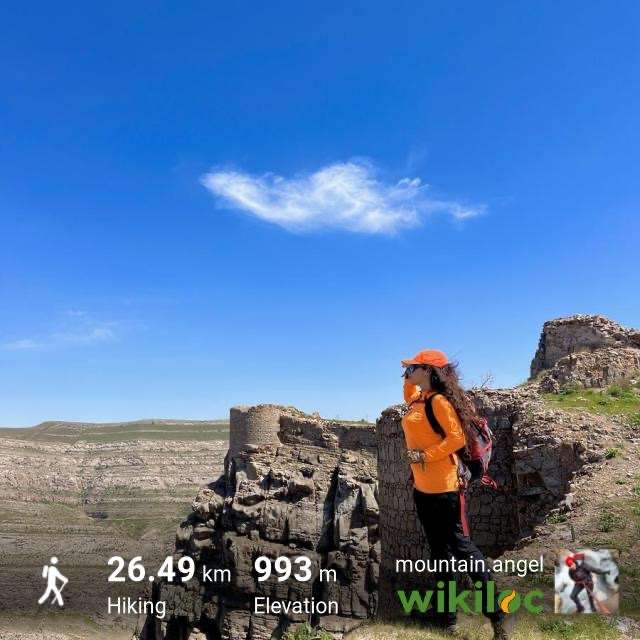
این قلعه از سه جهت شرق، غرب و جنوب پرتگاه است
و فقط از جبهه شمالی به راحتی می توان صعود کرد.
برای رسیدن به این قلعه از مشهد، پس از طی ۱۵ کیلومتر در جاده کلات به دو راهی روستای کارده رسیده
و پس از طی ۲۳ کیلومتر به این روستا میرسید.
۲ کیلومتر مانده به این روستا در سمت چپ جاده سدی به همین نام وجود دارد.
پس از گذر ار روستای کارده، مسیر جاده سمت راست به طرف روستای آل را طی نموده
و پس از طی مسافت طی ۱۰ کیلومتر به این روستا می رسید،
۶ کیلومتر اول آسفالت است.
حدود ۳۰۰ متر مانده به روستا در سمت چپ جاده آبشاری فصلی وجود دارد
The route of the tour after the car park, because it is only suitable for off-road and riding is not allowed, we parked next to the gardens and started the tour on the road.
Mobile antenna: Both operators were Noservice
The route was very green and beautiful. This castle was used by the Timurid emirs since the middle of the 9th century AH, especially Ala-ud-Dawlah, the son of Baysanqar, and it was used and paid attention to until the time of Shah Abbas I, the Safavid.
We saw several herds of nomads on the way, which you should cross with caution, for several reasons:
1. The entire path was full of ticks, up to the peak itself
2. There were a large number of herd dogs, and given the size of each herd on the way, we were at risk of being attacked by dogs until the shepherd came to the front of the herd to warn us
3. There were a large number of nomads and natives of the region on the way up and even under the castle wall
Take the "tick" seriously because there were so many of them, and as we passed by a herd or any plant, a large number of ticks would quickly attach themselves to our clothes and jump off.
The path to the summit is completely covered with rocks and pebbles, but before that there was no obvious tick.
There was a very short rock below the peak and I repeat, there was a stone wall to mark the route.
Access route: Mashhad, Kalat, after Andarkh and Kardeh Dam, Darre Al, the river path on the left (according to the Turk), the dirt road to the river to the parking lot
Ascent time: about 6 hours
Time from Mashhad to the end of the work: about 2 hours
Ascent distance: 20 km (because we have to navigate the road by car, unless we have an off-road vehicle, there must be a road to the end of the work at Qale)
Elevation gain: 993 m
There are various beliefs that are narrated about the reason for the name Al Valley. Some people believe that in the past, scary and invisible creatures called Al lived in this village.
The prominent mountains around this castle include: Dololi Peak, Aq Chil, and Tanora Peak.
In historical texts from the Timurid period, Mad Castle is mentioned (as Al and Mat (Mad and Emad).)
And it was used until the Safavid Shah Abbas era.
Northeast of the village of Al is built on a high and flat mountain.
In this castle, there are signs of water storage facilities and soldiers' housing.
Pottery from the Timurid and Safavid periods is also found around it.
This castle is a precipice from three directions, east, west and south
and can only be easily climbed from the northern side.
To reach this castle from Mashhad, after driving 15 kilometers on the Kalat road, you will reach the crossroads of Kardeh village
and after driving 23 kilometers you will reach this village.
2 kilometers before this village, on the left side of the road, there is a dam of the same name. And after traveling a distance of 10 kilometers, you will reach this village,
The first 6 kilometers are asphalt.
About 300 meters before the village, on the left side of the road, there is a seasonal waterfall.
تصاویر ۱۷
ممنون بابت توضیحات کامل و دقت نظر در جزئیات
ممنون بابت توضیحات کامل و دقت نظر در جزئیات